
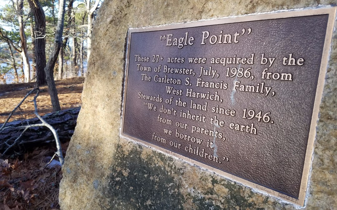
The Punkhorn Parklands in Brewster have many interesting walks but Eagle point has some of the best views.
Hyannis Ponds, a Hideaway in Hyannis
Find yourself stuck in the middle of Hyannis looking to go for a lunch run, with solitude, check out Hyannis ponds. It's a Large patch of land sandwiched between Mary Dunn Rd, Rt 6, Willow St, and the Airport.

Strong Island, 75 acres in the middle of Pleasant Bay.
In the middle of Pleasant Bay there is a 75 acer island with trails, beaches and marsh creaks to explore.
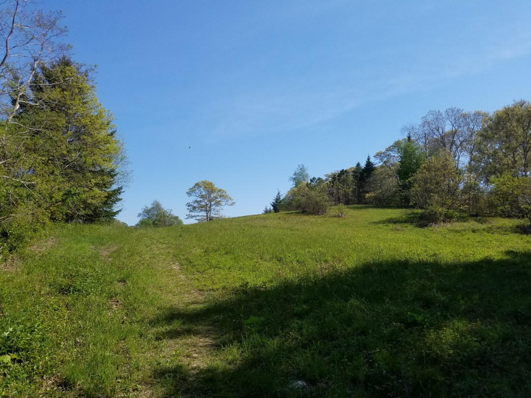
Rolling hills on Cape Cod, Seabury Farm Conservation Area
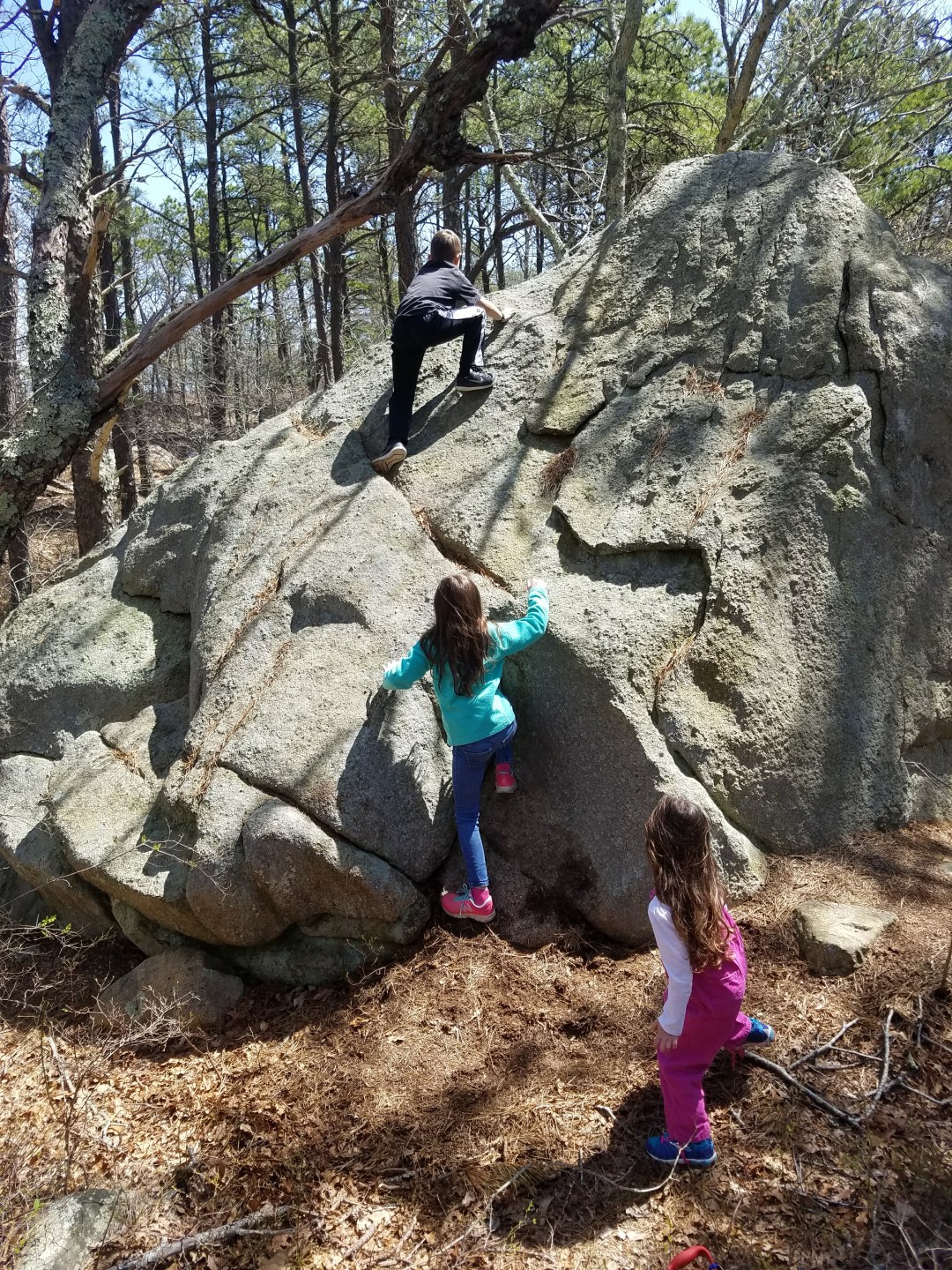
Seabury Farm Conservation is a large plot of land that is mainly open rolling hills in Barnstable. It's a great spot to bring the kids or dog when you need to run the energy out of them. There is a small parking lot directly off 6A between B.W.B. and the train bridge that crosses over 6A, the … Continue reading Rolling hills on Cape Cod, Seabury Farm Conservation Area
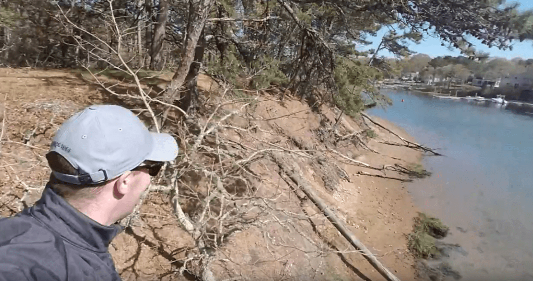
Indian Lands Conservation allows you to walk Bass River
Growing up my friend's and I would jump off the railroad bridge just off the mid-Cape highway by exit 9. On hot summer days, we would park at the abandoned rest area and jump until a state cop kicked us out. I always wonder how people would come in from the south and finally figured it out, … Continue reading Indian Lands Conservation allows you to walk Bass River
5 actions to stay tick safe on Cape Cod
Cape Cod is tick central so below is an excerpt from http://www.tickencounter.org with the top 5 actions to be tick safe.

The Secluded Cape Cod Pathways Map
This map has been put together with different resources. The town of Barnstable has documented their portion of the trail but very few others have. I read about or walked the other portions of the trail shown and have attempted to make a comprehensive map allowing someone to walk from one end of the … Continue reading The Secluded Cape Cod Pathways Map

The Secluded Cape Cod Adventure Map
The one map to rule them all! This interactive Google map has a mixture of Cape Cod trailhead parking locations and interesting destinations. On a mobile device click the square in the top right corner of the map to open it in Google maps and see your location. Trail maps and other information can be found in … Continue reading The Secluded Cape Cod Adventure Map
How to find us on social media
In order to help build the community of nature lovers on Cape Cod, we have some social media. First up is a Facebook page give it a like and share with those who may find it interesting. Next is a YouTube channel with short videos highlighting different hikes around the Cape. If you enjoy nature photography check out … Continue reading How to find us on social media
How to find the hidden hikes on Cape Cod
http://www.secludedcapecod.com helps you find the Cape’s quiet places. From the unknown trails to hidden ponds this site brings together a number of resources to help you plan your next Cape Cod adventure. The site has three main features The Adventure Map, The Cape Cod Pathways Map, and resources listed by town. The Cape Cod Adventure … Continue reading How to find the hidden hikes on Cape Cod
